Map Types
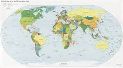
Political Maps- show states, national boundaries, capitols and any major cities
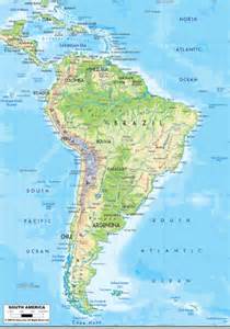
Physical Maps- shows mountains, rivers, lakes and any other natural features. Colors are used to show elevation, bodies of water and other things
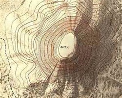
Relief/Topographic Maps- Show shape and elevation of land forms using special lines
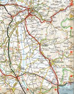
Road Maps- show primary and secondary transportation routes. Used by many travelers.
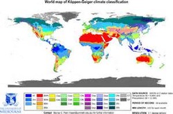
Climate Maps- show the trype of weather in an area
Resource Maps pr Economic Maps- Show natural resources or the economic activites of an area.
